
Sahuarita ZIP Coverage at a Glance
The verified postal core is 85629. County address records place incorporated Sahuarita addresses on Sahuarita Road and South Rancho Sahuarita Boulevard in that ZIP. The same data also contains unincorporated Pima County addresses whose postal city is Sahuarita. That makes 85629 central to a local search, but not equal to the town itself.
| ZIP | Relationship to the Sahuarita area | Postal check | Research note |
|---|---|---|---|
| 85629 | Primary Sahuarita postal ZIP, including incorporated and unincorporated addresses | Verify the exact address with USPS | County jurisdiction may be SAH or PC |
| 85614 | Green Valley postal area west and southwest of Sahuarita | Check the address, not a broad ZIP list | No verified current town-limit intersection |
| 85641 | Vail postal area east of Sahuarita | Check the address and county jurisdiction | A Sahuarita-named road does not prove town status |
No PO-box-only or unique institutional ZIP for the Town was verified. No official split or realignment year was found either. The Sahuarita ZIP code directory therefore keeps 85614 and 85641 as edge-area research leads, not as proven ZIPs inside the incorporated boundary.
Verify a Sahuarita ZIP Code
Start with the USPS address-to-ZIP lookup. Enter the complete delivery address with any unit. The result answers a postal question: how USPS standardizes and routes that address. It does not answer whether the parcel lies inside Sahuarita, belongs to an association, sits in a school area, or falls under a specific tax authority.
The captured USPS ZIP lookup screen shows the official starting point for a one-address check.
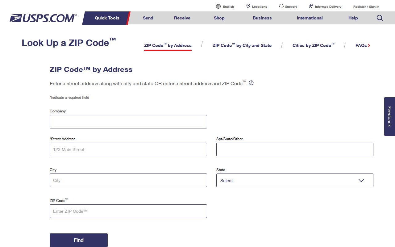
Copy the standardized result exactly, then carry it into Pima County GIS. That second step is what supplies parcel and jurisdiction context.
Use the USPS Locations finder when the goal is to identify a retail or mailing facility rather than verify one delivery address.
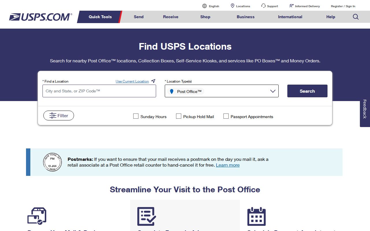
The locations view supports the post-office side of the search, but it should not be read as a map of municipal limits.
Find Sahuarita Residents by ZIP
A ZIP can narrow a large set of addresses, yet it is rarely the final key in official records. The county address layer can be grouped by ZIP. PimaMaps can map uploaded rows and export query results. The Assessor's simple search expects a parcel, street address, or name, not a verified ZIP-wide filter. Move from postal area to specific address before checking ownership or deeds.
- Confirm the complete delivery address and ZIP through USPS. Keep any unit number with the result.
- Open the address in PimaMaps or the county address layer. Record the jurisdiction, parcel code, and standardized street parts.
- Use the parcel or address in the Pima County Assessor. Treat the named owner as an ownership clue, not proof of residence.
- Carry the owner name and legal land clues into the Recorder search when a deed or prior-owner question matters.
- Use voter information only through the proper personal or statutory request route. It is not a free ZIP-wide resident browser.
Once a ZIP result has narrowed the work to a named road, the Sahuarita street directory provides the parcel-by-parcel method.
Query Sahuarita ZIP Address Fields
The county's address service is the strongest verified ZIP-capable source in the research. Its records expose the postal code beside the municipal jurisdiction and parcel. That side-by-side view is much safer than a generic list of city ZIPs. It also supports a spatial method: select address points inside the current Town boundary, group their ZIP values, then test representative addresses with USPS.
| County address field | What it identifies | Use in ZIP research |
|---|---|---|
| ZIPCODE and ZIPCITY | Postal code and postal city label | Group records by mail geography |
| Jurisdiction or CITY_ID | Town or unincorporated county authority | Separate SAH from PC records |
| Parcel | County tax code | Move to Assessor and land records |
| Street components | Number, direction, name, and suffix | Standardize a failed address search |
| Coordinates and edit date | Mapped point and last data edit | Check place and data recency |
The Assessor advanced interface can search several land keys, but a dedicated ZIP field and result cap were not verified. Do not claim that portal can produce all owners in a ZIP. The voter request form can select Sahuarita by city or town code for an authorized use, but it is not a public postal search.
Sahuarita ZIPs Versus Town Limits
Pima County gives a clear local example of the mismatch. Within 85629, address rows with ZIPCITY Sahuarita can carry CITY_ID SAH for the incorporated town or CITY_ID PC for unincorporated Pima County. The mailing line can look local in both cases. The Jurisdiction field is the municipal answer.
The Pima County situs-address guidance explains why property location and postal wording must stay distinct.
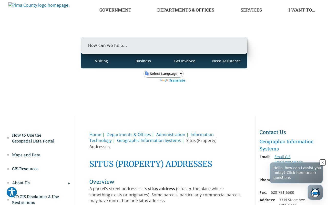
The county guidance makes this ZIP code directory more useful for choosing the correct Town or county custodian.
Annexation adds a time layer. Sahuarita incorporated in 1994, then added areas in 1997, 1999, 2000, and 2018. An address may have kept its postal line while its municipal status changed. Older permits or municipal files must be sought from the office with authority at the relevant date.
Note: ZIPs route mail; they do not define Town, association, school, voting, or tax boundaries.
Standardize Sahuarita ZIP Addresses
Pima County defines a valid property address as a unique address assigned to a parcel or building from the official street name and vehicle access. Regional records use SAH for Sahuarita and PC for unincorporated Pima County. Apartment or unit identifiers normally follow a number sign in a separate field. That detail matters because one parcel can hold many unit addresses.
The Official Address Guide for Pima County provides the regional naming and assignment rules.
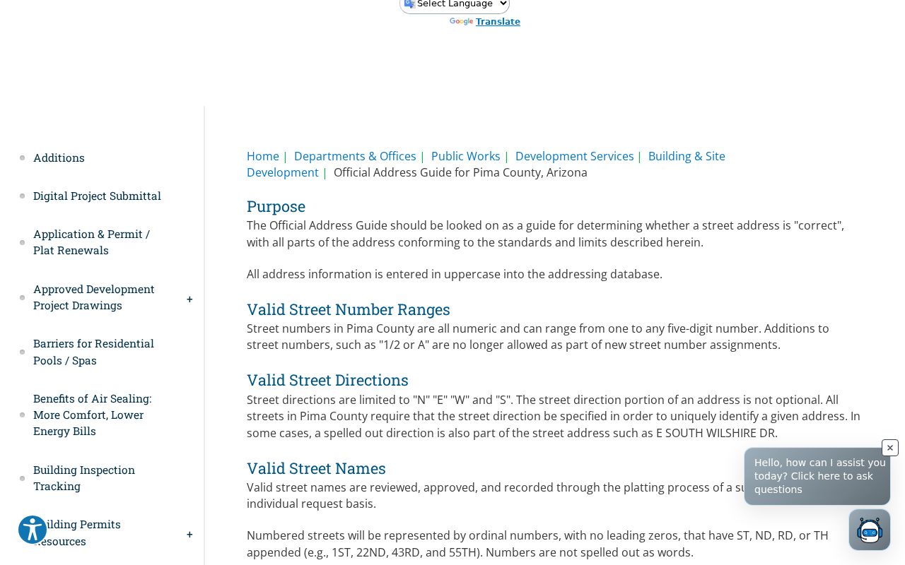
The guide helps turn a loose mailing clue into the exact street form used in county address, parcel, and permit systems.
An official address or street-name change requires notice to affected owners and approval from 51 percent of them, followed by the relevant government process. No Sahuarita-wide historic renumbering date was verified, so a failed old address should be tested through parcel, subdivision, lot, block, and legal-description clues.
Read Sahuarita ZIP Terms
Postal and land records use different vocabularies. Knowing the terms prevents a delivery code from being mistaken for a town boundary or a parcel identifier.
- ZIP code
- A USPS mail-routing area. Its outline need not follow municipal limits.
- ZIP+4
- A more specific delivery segment added to the five-digit ZIP. It is still a postal key.
- PO-box ZIP
- A ZIP used for post-office boxes rather than ordinary street delivery. None was verified as Town-specific here.
- Unique ZIP
- A code assigned to one very high-volume recipient. None was verified for Sahuarita.
- Carrier route
- A delivery grouping within a postal area, not a municipal or parcel boundary.
Tax records key on the parcel. Deeds rely on parties, recording numbers, and legal descriptions. Permits often key on the situs address. When one search fails, translate the clue rather than repeating the same ZIP in every portal.
Handle Sahuarita ZIP Edge Areas
Green Valley's 85614 lies west and southwest of the Sahuarita area. Vail's 85641 lies east. County data also includes a Sahuarita-named place on the Vail postal side, which shows why a road or place name cannot settle either the postal city or the government jurisdiction. Current GIS intersection work was not completed for those two ZIPs, so neither should be described as proven inside Town limits.
The careful test uses three independent facts: the USPS result for mail, the county jurisdiction field for local authority, and the parcel or legal description for land records. Neighborhood names such as Rancho Sahuarita, Quail Creek, and Madera Highlands add useful search terms, but an association boundary is not a ZIP boundary. Growth and annexation around these communities also mean that a current map should not be projected backward without a date.
Pima County GIS can make the boundary test reproducible. Begin with the current Sahuarita municipal or annexation layer. Select county address points whose jurisdiction is SAH, group those selected rows by ZIPCODE, and review the resulting locations on the map. Then test sample delivery addresses in USPS. This method uses the Town boundary for government status and USPS for mail, so neither system is asked to answer the other's question.
The wider postal area should still be searched when a family, estate, or old-address clue points there. Use Sahuarita, Green Valley, Vail, Pima County, a subdivision name, and the Santa Cruz River corridor as place variants where the record system permits them. A historic source may predate the present Town line. Keep its publication or record date beside the address before matching it to a modern parcel.
Boundary check. A Sahuarita postal label can describe a broader community than the incorporated town. Confirm jurisdiction before requesting permits or municipal records.
The result is a ZIP code directory grounded in official geography. It narrows a place, then hands the search to the proper address, parcel, deed, or authorized voter channel.