
Sahuarita Previous Residents Sources
Each source answers a different part of an address history. The Pima County Assessor identifies today’s taxable parcel and may expose history, genealogy, images, and sales clues. The Recorder supplies recorded instruments and the chain of title. A chain of title is the ordered sequence of transfers for the same land. Directories, census schedules, permits, and newspapers may then show use or occupancy, but none should be treated as a flawless household roll.
| Evidence source | Local time reach | Keeper or access point | What it can establish |
|---|---|---|---|
| Assessor parcel detail | Current and prior years exposed for that parcel; earliest year varies | Pima County Assessor | Taxpayer, situs, mailing address, parcel code, value, images, and history clues |
| Recorded documents | Books reach 1865; all June 1982-forward documents are indexed, with older indexing in progress | Pima County Recorder | Grantors, grantees, document dates, legal description, and transfer sequence |
| PimaMaps and aerials | Pictometry projects include 2008 to 2018 and 2020 onward; a 2024 project is documented | Pima County GIS | Parcel, street, jurisdiction, and visible physical change |
| City and reverse directories | Regional first volume in 1881; distributed known run through 2003, with gaps | PCPL, AHS, Ancestry, Arizona Memory | Dated names, addresses, spouses, occupations, and reverse listings where present |
| Federal census | Public through 1950 under the 72-year release rule | National Archives and library databases | Occupants and household relationships for a census date |
| Permit evidence | Exact earliest Sahuarita year not verified | Town or county office responsible on the permit date | Construction, alteration, applicant, and inspection clues in releasable records |
Start with the source closest to the target date. For a recent transfer, begin with the parcel and deed. For a mid-century household, use a dated directory and census pairing, then verify the property identity. No Sahuarita-specific Sanborn fire-insurance sheet was verified, so parcel maps, plats, aerials, and permits are the honest building-history substitutes.
Start Sahuarita Records at Today
Validate the full address in PimaMaps or the Assessor before naming any past resident. Capture the parcel code, situs address, jurisdiction, subdivision or lot clues, and current owner name exactly. A situs address identifies the physical premises. The owner mailing address is the destination for valuation and tax mail. Matching addresses may support owner occupancy, but they do not prove it. Different addresses may point to an out-of-area owner, a manager, a trust, or a post-office box.
The Pima County Assessor mailing-address guidance explains how tax mail is handled.

The source capture reinforces why the mailing field must remain a lead, not a claim about who slept at the property.
Open the parcel’s History, Genealogy, and Images tabs when available. Transcribe recording references and legal-description details rather than relying on a screen name alone. If public detail is missing, the Assessor publishes downloads for real-property, sale-affidavit, and reference data, while its site directs requests for unavailable data through the county public-record channel.
Walk Sahuarita Deeds Backward
The deed chain follows the land, not merely the person. Begin with the current acquisition instrument, verify that its legal description matches the parcel, and then use each seller to find the preceding purchase. Names can recur, trusts can intervene, and one person may own several parcels. The legal description and document sequence keep the trail attached to the right property.
- Open the current parcel and copy its owner name, parcel code, legal description, and any recording or sale reference.
- Find the current acquisition deed in the Pima County Recorder search. Confirm the land, not just the party name.
- Record the grantee, grantor, document type, recording date, document or sequence number, and book or page reference when shown.
- Search that deed’s grantor as an earlier grantee. Verify the same land and repeat the transfer loop.
- When the web trail ends, carry the last party, date, book or page, and legal description to a Recorder public computer.
- Add occupant evidence only after the ownership sequence is sound.
This repeated seller-as-buyer loop is the heart of the backward search. Stop at any transfer that does not match the parcel, then resolve the conflict before moving into an older index.
- Grantor
- The party transferring an interest in the recorded instrument.
- Grantee
- The party receiving the interest. In a backward deed search, today’s seller is sought as an earlier buyer.
- Chain of title
- The verified succession of instruments affecting the same parcel.
- Legal description
- The land description in a recorded instrument, often more stable than a street or postal label.
Sahuarita Previous Residents Beyond Web
Pima County’s recorded books reach to 1865. The Recorder states that all documents from June 1982 forward are indexed, while historic indexing continues. An online miss before that boundary is not proof that no deed exists. Use the public computers at the Recorder’s Research and Recording office at 240 N. Stone Avenue in Tucson or the Eastside office at 6920 E. Broadway Boulevard for unindexed material. Mail requests are another channel when the needed document is known.
Free web viewing provides unofficial watermarked images. The Recorder fee and locations page lists copies at 25 cents per letter-size image, 50 cents per 11-by-17 image, and 25 cents per digital document. Certification costs $1 per image plus a $3 certificate and seal. Mail processing adds $1 per document, and online card purchase adds 2 percent. Confirm current charges before ordering.
The official Recorder fee page is captured below for Sahuarita previous resident research.
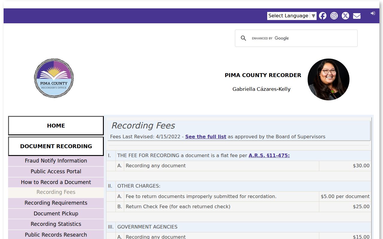
The capture helps distinguish a low-cost digital image from a certified copy meant to carry the Recorder’s seal.
Stable bridge. Carry the legal description and last verified recording reference to the counter when an old street name or postal label stops producing results.
Sahuarita Addresses Change Jurisdiction
A postal city of Sahuarita does not prove that the parcel sat inside town limits on the date being studied. County guidance separates postal city from jurisdiction, and annexations changed the municipal record trail. Sahuarita incorporated in 1994. Land associated with Sahuarita Lake and North Santa Cruz Park entered after a 1997 annexation, Madera Highlands in 1999, future Quail Creek pecan-grove land in 2000, and La Posada in 2018.
Use dated annexation maps, subdivision plats, and the legal description when a permit or address search fails. A structure can stay in place while its town status changes. Pre-incorporation permits and land records may belong only to Pima County, while later work may route through the Town. The Pima County GIS map catalog provides annexation, plat, parcel, street, aerial, and survey context.
This geography is more than background. It decides which custodian could have created the record and which place name belongs in a directory or newspaper search. Search Sahuarita along with Tucson, Green Valley, Pima County, the subdivision, and older ranch or company names tied to the area.
Note: Postal wording can change independently of title, so keep each historic address paired with its date, parcel code, and jurisdiction.
Sahuarita Past Household Evidence
Ownership is only half the story. A reverse or criss-cross directory can list a person by street address for a particular edition. An alphabetical city directory may add a spouse and occupation. The federal census can show household relationships on one enumeration date. Each source has omissions, and none turns the Assessor owner field into a resident roster.
- Select a directory edition near the target year and copy the address entry exactly, including any unit or directional.
- Search the same volume’s alphabetical section for the named person and preserve its spouse, occupation, and notation fields.
- Check the next available edition, not simply the next calendar year, because some directories were never published or were not retained.
- Pair the address with the nearest released census schedule and confirm the correct enumeration geography.
- Compare the occupants with the deed owner, while keeping renter, family member, and owner roles distinct.
The regional collections begin with an 1881 Tucson volume, become generally annual after 1899 with exceptions, and reach every known published Tucson directory year through 2003 across several repositories. The collections and their access routes are detailed in the Sahuarita city directory. PCPL Infoline also performs up to three address or telephone criss-cross lookups at 520-791-4010.
The National Archives census guidance documents the public schedule route.
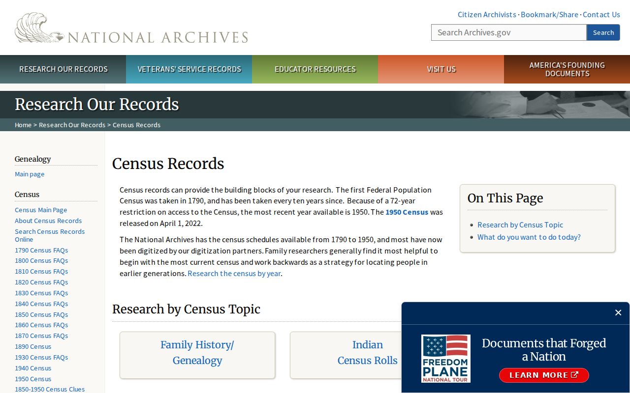
The captured census resource supports household-level comparison while keeping the public 72-year release rule in view.
Date Sahuarita Residents and Buildings
The Assessor’s parcel history can supply valuation, classification, sales, and improvement clues, while town or county permits can date construction or alteration. Match the permitting office to the jurisdiction on the work date. Sahuarita identifies Accela as its permit-search channel, but the exact field set and earliest online year were not verified in the research, so the absence of an online hit cannot close the search.
The Pima County Assessor data-download page provides real-property, sale-affidavit, and reference datasets.
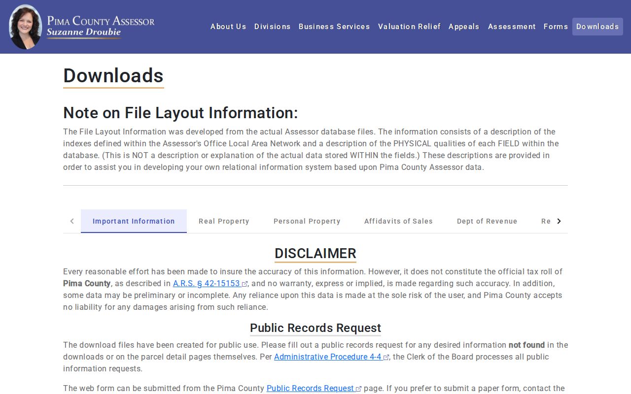
The capture shows a bulk-data fallback for parcel and sales context, though the Assessor warns that downloads are not the official tax roll under Arizona law.
Physical change can also be checked in PimaMaps aerials. Those images help date additions, roads, and site changes, but they do not name occupants. A permit applicant or contractor likewise has a project role, not automatic proof of residence. Use the evidence to form a timeline: parcel identity, deed transfer, structure or improvement date, directory entry, and census household.
Close Sahuarita Previous Resident Trails
Newspaper notices, obituaries, probate records, and historic vital records can explain why a person disappears from an address. PCPL’s genealogy portal includes HeritageHub obituary and death notices, the Arizona Digital Newspaper Program for 1859 through 1922, modern news access, HeritageQuest, and in-library Ancestry Library Edition. Search nearby place and organization names because older local notices may be indexed under Tucson, Green Valley, Pima County, a ranch, or a mine.
Probate records route through the Pima County Clerk of the Superior Court because probate does not appear in the statewide public case results. An open estate file may name a fiduciary or heir, subject to sealing and redaction. Historic Arizona birth and death certificates become available for genealogy after the statutory release periods, but current vital records remain restricted to qualified applicants.
No authoritative Sahuarita-only obituary index, cemetery portal, or public historical employee roster was verified. A directory disappearance may mean a move, a death, a missed canvass, a name change, or a missing volume. Treat each as a question that needs another dated source.
Lawful use. Research past occupants for family history, property history, or civic curiosity, and never use an address trail to harass, stalk, or harm a living person.